Are you looking to add a little more technology to your lessons on Winter Holidays Around the World? Google Earth is the perfect tool to use when “traveling” around the world!
Quick Links
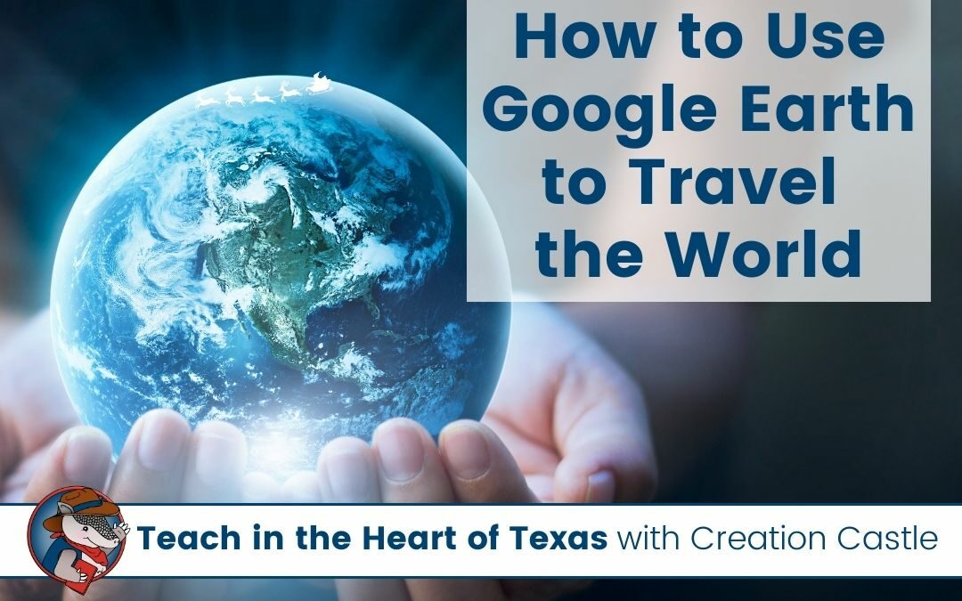
What is Google Earth?
Google Earth is a unique platform that takes images from all over the world to create a 3D representation of the Earth. This interactive map lets you discover and explore all over the world. It’s a super fun tool that would be a great addition to many of your social studies lessons.
How can you access Google Earth?
You can use Google Earth in any modern browser, but it works best in the Chrome browser. Simply go to the website earth.google.com/web and give the program a few minutes to load.
How do you create and share projects?
- Click on the PROJECTS ICON on the left-hand menu
- Give your project a TITLE and DESCRIPTION
- Search for a place you would like to add using the MAGNIFYING GLASS
- When you find a place you want to add, click the ADD TO PROJECT button and save it
- Click the SHARE PROJECT button to get a shareable link for your students
- To see your finished project, click PRESENT to easily navigate through your project
This is just the bare minimum you can do to create a project. There are lots of other fun features like choosing a particular view you see when you go to a destination or adding your own pictures.
How can you use it in the classroom?
A typical and exciting project for many classrooms in December is Christmas Around the World or Winter Holidays Around the World. There are so many fascinating things to learn about other cultures and how they celebrate the same or similar holidays.
This is definitely a favorite activity for students each year, so if you can incorporate it into your lesson plans, I know your students would love it!
One super fun thing you can do is “fly” from destination to destination. In your classroom, you can set up the chairs to look like the rows of a plane and give your students passports. To make the experience even more immersive, you can use Google Earth to show your students where in the world they are traveling to literally.
If you are using my Winter Holidays Around the World pack (digital or print version), you can make a copy of my Google Earth project where the countries are already plugged in for you in the order I would take my students around the world.
After you open my project, you can click on the THREE DOTS at the top of the left-hand menu (next to the trash can) and COPY PROJECT. From this point, you can make adjustments by adding or deleting destinations from the project.
In my project, I chose to use the country as the destination, you could also have your students “visit” the capital cities or particular locations and take a closer look at how the landscape and buildings differ from your own.
I think your students will really enjoy getting to “visit” all these locations and actually see photographs of the places you are talking about. Google Earth also helps your students visualize the geography of the world and see how close or far apart different countries are from one another.
Which country are you most excited to share with your students? Sweden’s traditions are so fun and I love talking to students about St. Lucia’s Day!
Creation Castle
Heather is the author of Creation Castle. She has experience with general education, special education, and ESL students in kindergarten through fifth grade. She specializes in early elementary math and literacy, as well as organization.